
Joe Fachetti
GEOSPATIAL DATA ANALYST
I am a geospatial data analyst working in the telecommunications industy. I am currently at TDS Telecom on the Route Analysis and Selection team, where I analyze fiber optic network designs using proprietary and open-source tools and data, develop geospatial automation tools, and create visualizations and dashboards that support internal decision-making.
I earned my M.S. in Spatial Data Science from Penn State, where my thesis explored how different cartographic techniques influence public understanding of risk and temporal distance of sea level rise and broader climate change issues.
My interests lie at the intersection of GIS, data science, and cartography, particularly in their power to communicate complex information and address social and environmental challenges. I’m always looking for opportunities to apply geospatial thinking to make a positive impact.
Portfolio
Maps

Energy Generation and Emissions

‘See America’ Custom Basemap
Python
HTML/JavaScript
Other

Great White Shark Habitat Analysis

Projected Boston Sea Level Rise

Massachusetts Broadband Speed by Median Household Income

Boston Food Truck Map
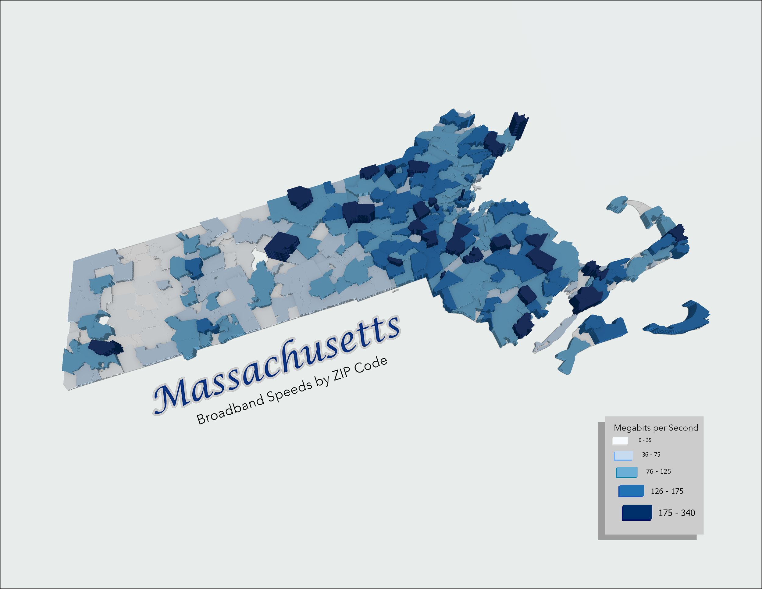
Massachusetts Broadband Speeds